This is a day spent exploring Wellington and Featherston. In the morning, we did a tour of various locations around Wellington, as well as Dry Creek Quarry (Helms Deep/Minas Tirith) and Hutt River (River Anduin).
We then headed towards Featherston along a windy road. We visited the stately home of Fernside where several locations were shot, including the "Leaving Lothórien" scene and the scene where the Ring was found by Déagol and Sméagol strangled him for it.
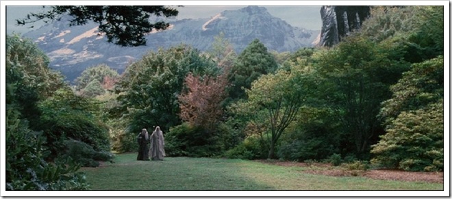
We also visited Harcourt Park, the location where the Isengard Garden scene was filmed.
In the evening, we wandered around Cuba Street and also visited the Te Papa Tongarewa National Museum.
"Wellywood" Studios
Peter Jackson has a "secret" studio at Stone Street.
[Tip: clicking on the image allows you to view it in Live Spaces and download it in high resolution (1280x800)]
This is a view of the entrance to the studio. Hmmm, I wonder what movie they are constructing sets for? :-)
A view of the studio from a nearby hill.
A close-up showing the saddles used for the oliphaunts in The Return Of The King.
Another potential studio in construction?
This is the Weta Workshop, located in Camperdown Road in the suburb of Miramar.
I managed to grab this photo before they covered the entrance with some plywood to hide the "tree."
Some more tree-like props under construction.
Wellington sights
This is Wellington Airport, viewed from the same hill as the one used to get an aerial view of Stone St. Studios.
A plane taking off.
This is Scorching Bay, containing the Chocolate Fish Café, supposedly a favourite haunt for the cast when they were staying at Seatoun during filming.
The Chocolate Fish Café itself.
Interesting shell art next door to the café.
The Chocolate Fish car.
Rock formation in the part of the seashore right in front of the Chocolate Fish Café.
Oriental Bay.
This is the hotel we stayed in.
Dry Creek Quarry (Helms Deep/Minas Tirith)
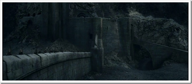
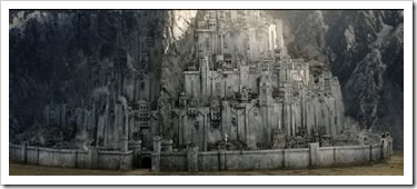
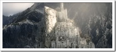
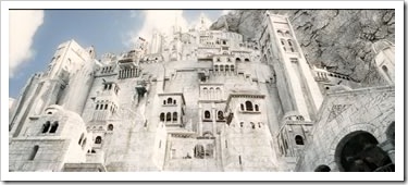
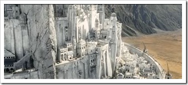
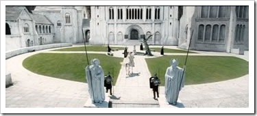
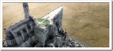
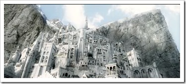
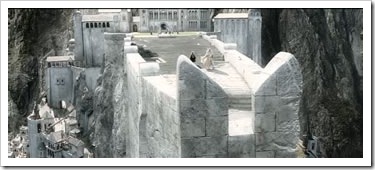
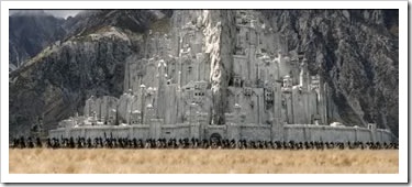
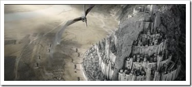
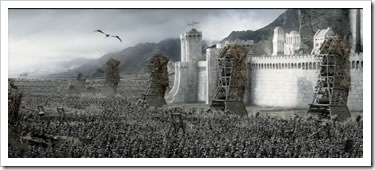
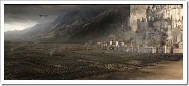
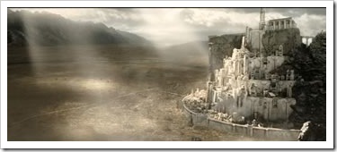
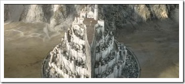
The Dry Creek Quarry, located on Haywards Hill Road (SH 58), just off SH 2, was used to construct the set of Helms Deep, then partially reconstructed to become Minas Tirith.
"At Helm's Gate, before the mouth of the Deep, there was a heel of rock thrust outward by the northern cliff. There upon its spur stood high walls of ancient stone, and within them was a lofty tower. Men said that in the far-off days of the glory of Gondor the sea-kings had built here this fastness with the hands of giants. The Hornburg it was called, for a trumpet sounded upon the tower echoed in the Deep behind, as if armies long-forgotten were issuing to war from caves beneath the hills. A wall, too, the men of old had made from the Hornburg to the southern cliff, barring the entrance to the gorge. Beneath it by a wide culvert the Deeping-stream passed out. About the feet of the Hornrock it wound, and flowed then in a gully through the midst of a wide green gore, sloping gently down from Helm's Gate to Helm's Dike. Thence it fell into the Deeping-coomb and out into the Westfold Vale. There in the Hornburg at Helm's Gate Erkenbrand, master of Westfold on the borders of the Mark, now dwelt. As the days darkened with threat of war, being wise, he had repaired the wall and made the fastness strong " (LOTR, Book III, Chapter VI, page 551-2)
As you can see, it's back to being a fully operational quarry.
"For the fashion of Minas Tirith was such that it was built on seven levels, each delved into the hill, and about each was set a wall, and in each wall was a gate. But the gates were not set in a line: the Great Gate in the City Wall was at the east point of the circuit, but the next faced half south, and the third half north, and so on and fro upwards; so that the paved way that climbed towards the Citadel turned first this way and then that across the face of the hill. And each time that it passed the line of the Great Gate it went through an arched tunnel, piercing a vast pier of rock whose huge out-thrust bulk divided in two all the circles of the City save the first. For partly in the primeval shaping of the hill, partly by the mighty craft and labour of old, there stood up from the rear of the wide court behind the Gate a towering bastion of stone, its edge sharp as a ship-keel facing east. Up by a battlement; so that those in the Citadel might, like mariners in a mountainous ship, look from its peak sheer down upon the Gate seven hundred feet below. The entrance to the Citadel also looked eastward, but was delved in the heart of the rock: thence a long lamp-lit slope ran up to the seventh gate. Thus men reached at last the High Court, and the Place of the Fountain before the feet of the White Tower: tall and shapely, fifty fathoms from its base to the pinnacle, where the banner of the Stewards floated a thousand feet above the plain." (LOTR, Book V, Chapter I, page 781-2)
Hutt River (River Anduin)
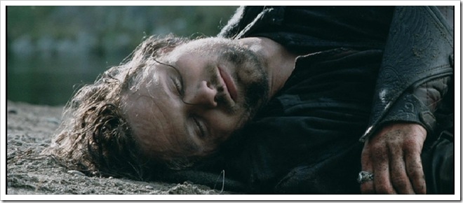
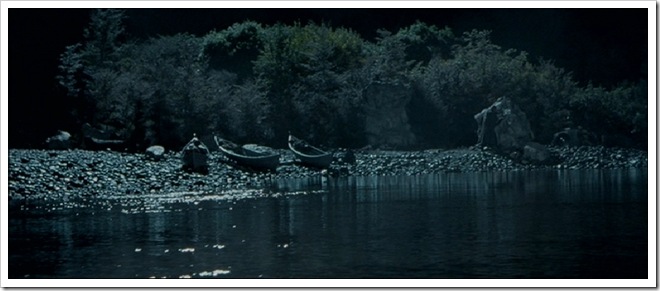
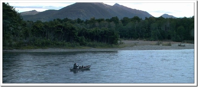
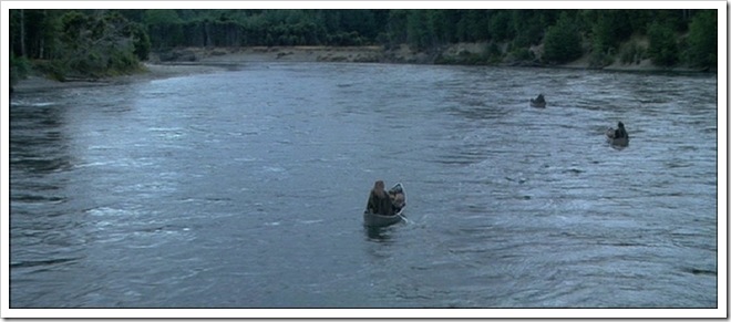
The Hutt River, off SH 2, was used to represent a different part of the River Anduin (where the Elven boats were launched), and also where Aragorn was washed ashore.
"On the bank of the Silverlode, at some distance up from the meeting of the streams, there was a hythe of white stones and white wood. By it were moored many boats and barges. Some were brightly painted, and shone with silver and gold and green, but most were either white or grey. Three small grey boats had been made ready for the travellers, and in these the Elves stowed their goods." (LOTR, Book II, Chapter VIII, page 391)
The "Fellowship" standing on the banks of the River Anduin. There was a lot of rain and flooding in February which caused damage to the banks.
Another view of Hutt River ... aka River Anduin.
"Crying farewell, the Elves of Lórien with long grey poles thrust them out into the following stream, and the rippling waters bore them slowly away." (LOTR, Book II, Chapter VIII, page 397)
Featherston/Fernside
We then travelled along SH 2 on a long, narrow and winding road past some beautiful green valleys.
We stopped by for lunch at Featherston. This is a rather interesting looking car with a dog in it.
We then stopped at Fernside, a stately home that you can stay in for the very affordable price of NZ$1,200 a day. :-)
Peter Jackson rented it during filming and a number of scenes were shot in the gardens on two occasions. We were greeted by Mike, the gardener, in full "Tolkien" costume.
This is how Fernside the house looks like.
Another view of Fernside.
Mike poses for photos.
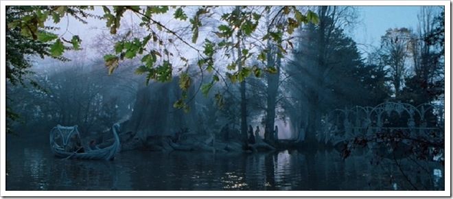
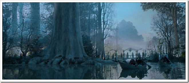
This is where the "Leaving Lothlórien" scene was shot. The bridge is part of Fernside, but heavily "decorated" for the scene.
"Lórien was slipping backward, like a bright ship masted with enchanted trees, sailing on to forgotten shores, while they sat helpless upon the margin of the grey and leafless world." (LOTR, Book II, Chapter VIII, page 397)

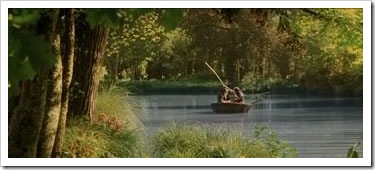
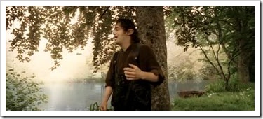
This is the "river" (actually, a man-made lake) where Sméagol and Déagol were fishing and Deagol found the Ring.
"On a time they took a boat and went down to the Gladden Fields, where there were great beds of iris and flowering reeds. There Sméagol got out and went nosing about the banks but Déagol sat in the boat and fished. Suddenly a great fish took his hook, and before he knew where he was, he was dragged out and down into the water, to the bottom. There he let go of his line, for he thought he saw something shining in the river bed; and holding his breath he grabbed at it." (LOTR, Book I, Chapter II, page 66)
Statue in the lake.
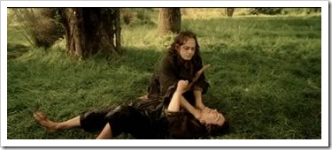
This is where Sméagol strangled Déagol for possession of the Ring, lovingly re-enacted for us by Kristine and Nick.
Harcourt Park (Isengard)
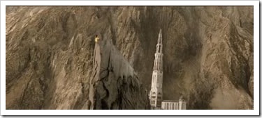
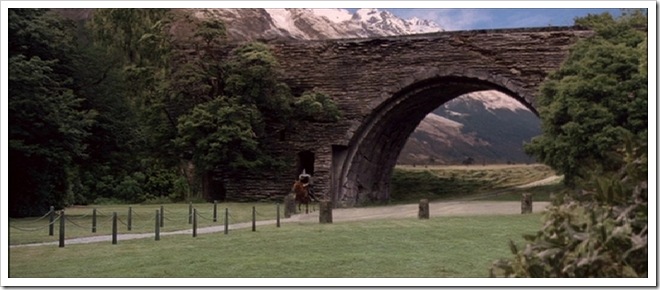
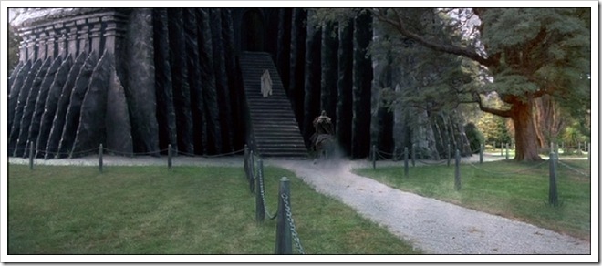
Harcourt Park was used for three Isengard scenes. This is used to represent the entrance road to Isengard when Gandalf first arrives on horse. They constructed a gravel path across this lawn, but it's hardly discernable now.
"'Late one evening I came to the gate, like a great arch in the wall of rock; and it was strongly guarded. But the keepers of the gate were on the watch for me and told me that Saruman awaited me. I rode under the arch, and the gate closed silently behind me, and suddenly I was afraid, though I knew no reason for it.'" (LOTR, Book II, Chapter II, page 275)
This is the "Garden of Isengard" where Gandalf and Saruman met, talking to each other, as represented by Kristine and Nick.
A boy wanted me to take a photograph of him climbing this tree.
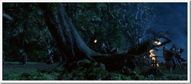
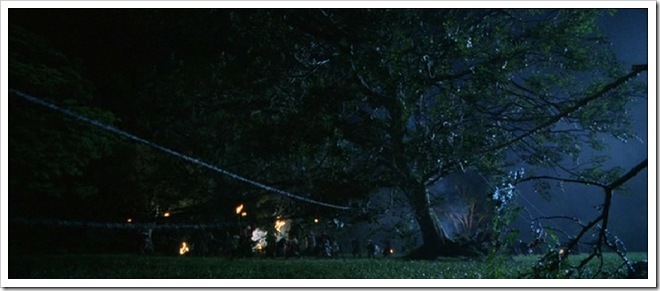
The scenes of the trees being pulled down at Isengard was also filmed in this park.
Te Papa Museum
Te Papa Tongarewa is the National Museum of New Zealand, located on Cable Street. It has some interesting "hands-on" exhibitions.
This is the skeleton of Phar Lap, a famous Antipodean racing horse that died under mysterious circumstances.
This is a full samurai costume/armour.
These are some period English furniture that originally belonged in Fernside.
This is a motorcycle called the Britten V-1000 built by an amateur called John Britten. It won the 1994 Daytona.
The following images are taken from the Mana Whenua Exhibition, which is an exploration and celebration of Maori as the tangata whenua (people of the land) of Aoteaora New Zealand .
This is an example of a Maori "waka" or canoe.
Another picture of the waka.
A Maori house.
Another Maori house.

Interior of a Maori house.

Exterior of a Maori house.


















Comments
Post a Comment